Archive

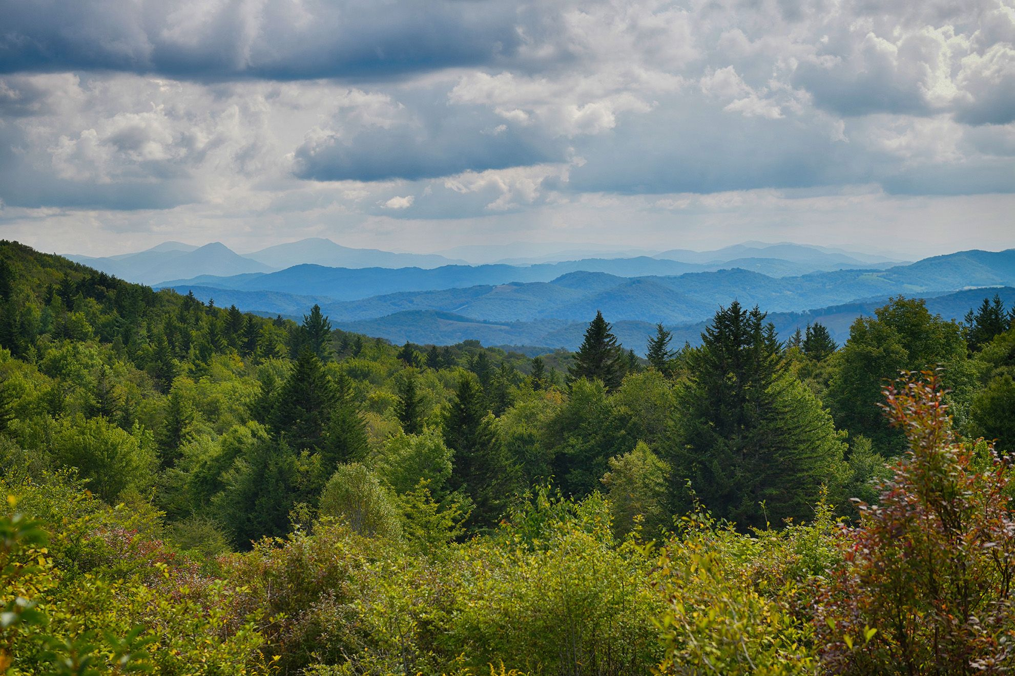
Wallen Ridge and Lovelady Gap are part of the High Knob Landform. Wallen Ridge Trail, FT #329, is located in the Clinch Ranger District of the Jefferson National Forest. The trail is rated moderate and is a favorite of hikers, bicyclists and equestrians. 6.9 miles, much of which is under a canopy of hardwoods with occasional clearings, runs along the crest of Wallen Ridge from Lovelady Gap to an area just West of Mountain Empire Community College. The elevation...

Rt. 611 Cumberland Mountain Scenic Drive was designated in 2009 as a Virginia Scenic Byway State Rt. 611.Beginning in Clintwood, and winding through the Mountains, you will find several tourism attractions spurring off the route. Birch Knob Tower located in the Jefferson National Forest, Airplane Rock overlook, John Flannagan Dam and Reservoir, Branham Farm, Virginia Birdwatching Trail, Horseback riding trails, hiking trails, mountain streams as well as an abundance of wildlife viewing along the drive....

Serious hikers or horseback riders will love this scenic trail which follows the crest of the Cumberland Mountains dividing Virginia and Kentucky. The trail extends 26 miles from Pound Gap to Potter's Flats in the Breaks Interstate Park. Trailhead parking for horse trailers exists. The trail requires map reading and safety skills. At least 7 access points exists off St.Rt. 630 and 611....

Looking for a REAL adventure? Hit the trails with our Ride-A-Rescue Equine Experience! Let our experienced staff take you on a guided horseback tour with breathtaking views of the scenic Blue Ridge Mountain countryside, making an equine adventure that is great for adults and children alike! Trail rides are available for 1, 2, and 3 hour lengths at a time through wooded trails, creek crossings and open pastures that all wind down to the New...

Located in the Mount Rogers National Recreation Area, the Virginia Highlands Horse Trail is a 68-mile trail between Elk Garden and VA Rt. 94. It features mountainous terrain, valley views and valley crossings. The trail includes parking and primitive camping for those who trailer horses....

The Virginia Creeper Trail Club is a private nonprofit corporation whose purpose is to maintain, promote and preserve the Virginia Creeper Trail corridor and to help develop and conduct public education programs regarding the scenic and natural qualities of the Virginia Creeper Trail.Virginia's finest rail-trail, the Virginia Creeper National Recreation Trail, occupies the bed of what was once a rugged mountain railroad between Abingdon and the Virginia-North Carolina border about a mile east of Whitetop...

The Virginia Creeper Trail is a 34 mile multiple-use trail rail trail in Southwest Virginia (SWVA).  The trail runs from The Abingdon through Damascus to Whitetop, Va, near the North Carolina state line -through National Forest and crosses numerous trestles.Damascus is the most popular point to enter the Virginia Creeper Trail.  Ample parking and amenities are available throughout this lovely small town.  Most folks desire to ride the downhill section of the Va Creeper.  Damascus...

The Virginia Creeper Trail is a 34-mile rail-trail that is considered one of the best bike trails in the nation. From Abingdon to Alvarado the trail crosses rolling farmland, and then slowly changes to a high mountain trail between Damascus, VA and Whitetop Station, inside Mount Rogers National Recreation Area.The most popular activity on the trail is a pleasant, 17-mile bike ride from Whitetop Station to Damascus. With a 5% downhill grade most of the...

Kimberling Creek Wilderness contains 5,542 acres. Elevations range from 2,282 feet at its lowest point on Kimberling Creek to 3,200 feet on Hogback Mountain. Vegetation is comprised of mixed hardwoods with white pine and yellow pine scattered throughout. The understory consists mostly of dogwood, sourwood, red maple, mountain laurel and rhododendron. Wildlife is found throughout the area and consists mostly of deer, turkey and grouse along with nongame species. There are no native trout streams...