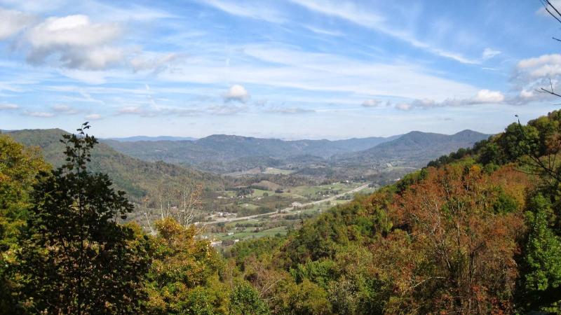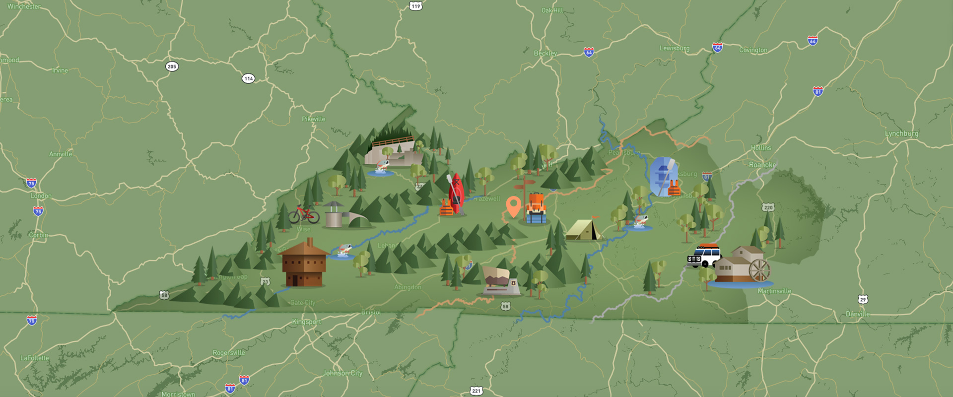
Wallen Ridge and Lovelady Gap are part of the High Knob Landform. Wallen Ridge Trail, FT #329, is located in the Clinch Ranger District of the Jefferson National Forest. The trail is rated moderate and is a favorite of hikers, bicyclists and equestrians. 6.9 miles, much of which is under a canopy of hardwoods with occasional clearings, runs along the crest of Wallen Ridge from Lovelady Gap to an area just West of Mountain Empire Community College. The elevation ranges from 2240 to 2740 feet. For mapping, the trail is located on the National Geographic/Trails Illustrated Map #793.
Directions:
From Big Stone Gap, go south on US 23 about 3.1 miles until you come to Forest Service Road 641 on the right. Go on FS 641 for about 2.7 miles; an old woods road on the right is the beginning. Wallen Ridge Trail can also be accessed from the west end of Wallen Ridge. From US 23 at Jasper (0.6 mile north of Lee/Scott County line), go left onto State Route 611 for about 3.8 miles, then go right onto State Route 619 for about 1 mile until you come to Lovelady Gap. The Trail takes off to the east from there.
Trail Access Points (Approximate LAT/LONG): LAT 36.7595 LONG -82.8815


