Archive

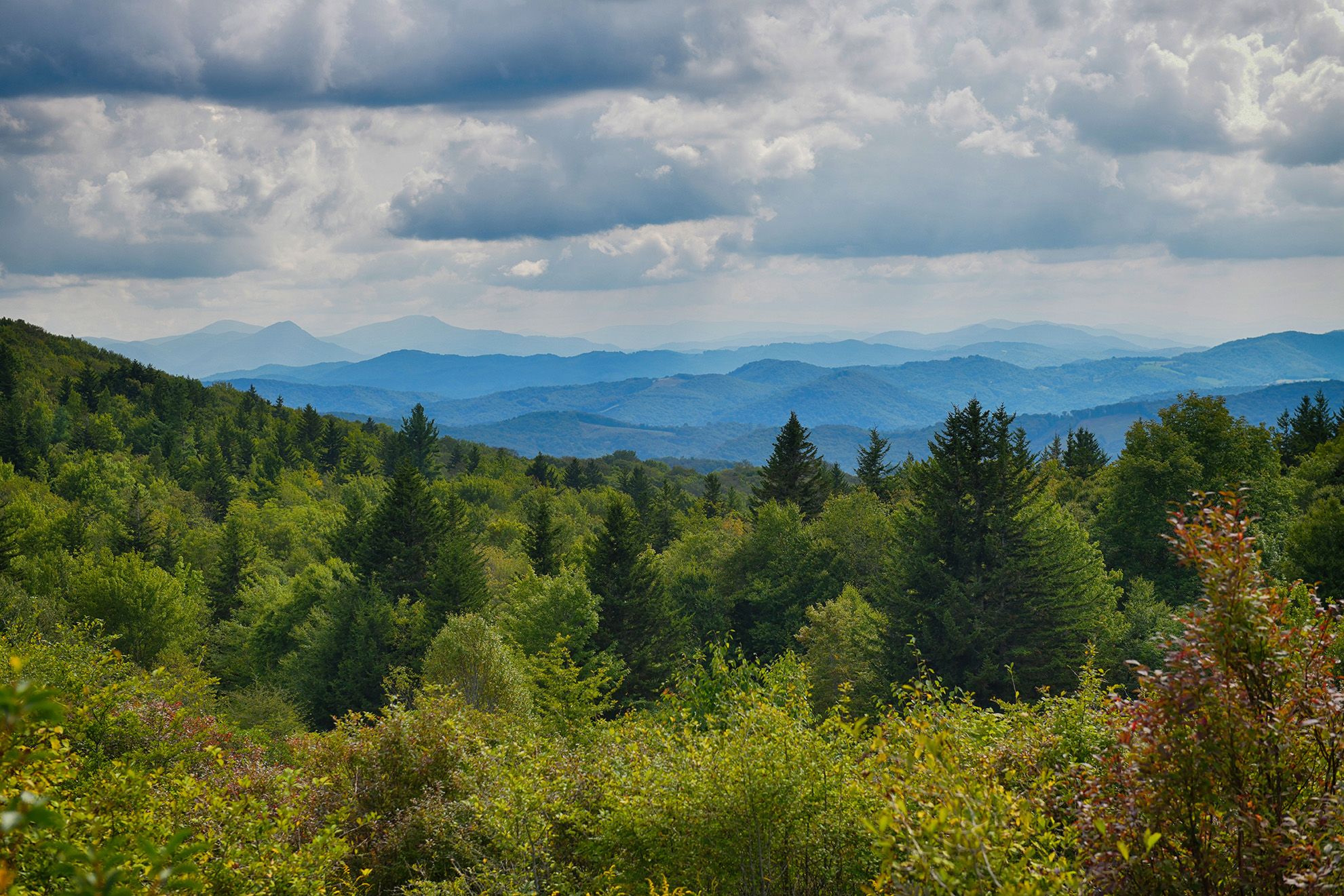
This trail starts in Crawfish Valley, crosses Bear Creek and climbs to the top of Brushy Mountain. It follows the ridge line of Brushy Mountain along the Tennessee Valley along the Tennessee Valley Divide for about 4 miles until it descends through Channel Rock Hollow.  Terrain varies from the creek bottom land to the dry ridges, stream crossing, some uphill climbs with numerous ups and down hill walking.  10.2 miles of trail total.  About 3.5...

As it passes through southwestern Virginia, this scenic drive follows the mountain crests of the Blue Ridge, offering sweeping views of mountains and valleys, split-rail fences, colorful spring wildflowers and fall foliage, wildlife and waterfalls. Along the way are numerous picnic sites, campgrounds, hiking trails and historic sites. The Parkway is ranked "America's most scenic drive." See visitor center staff for maps and information on sites of interest....

Carroll County features 30 miles of spectacular scenery along the 469 mile parkway, between Mileposts 182 and 212. Three cultural stopping points are the Groundhog Mountain Scenic Overlook with picnic area(MP 188.8), Orlean Puckett Cabin (MP 189.9), and on the edge of the county is the Blue Ridge Music Center (MP 213). An important access point to the parkway in Carroll County is at Fancy Gap (MP 199.5) which intersects with Route 52 and is...

Southwestern Virginia includes some of the most spectacular sections of this famous Maine-to-Georgia footpath, with wilderness high summits, mature timber and vivid floral displays in June and July.Giles contains 50 miles of the Appalachian Trail and it passes through the county seat of Pearisburg and the Town of Narrows which are now both official Appalachian Trail Communities. Starting in the spring, many hikers stop by on their journey for a little rest, good food and...