Archive

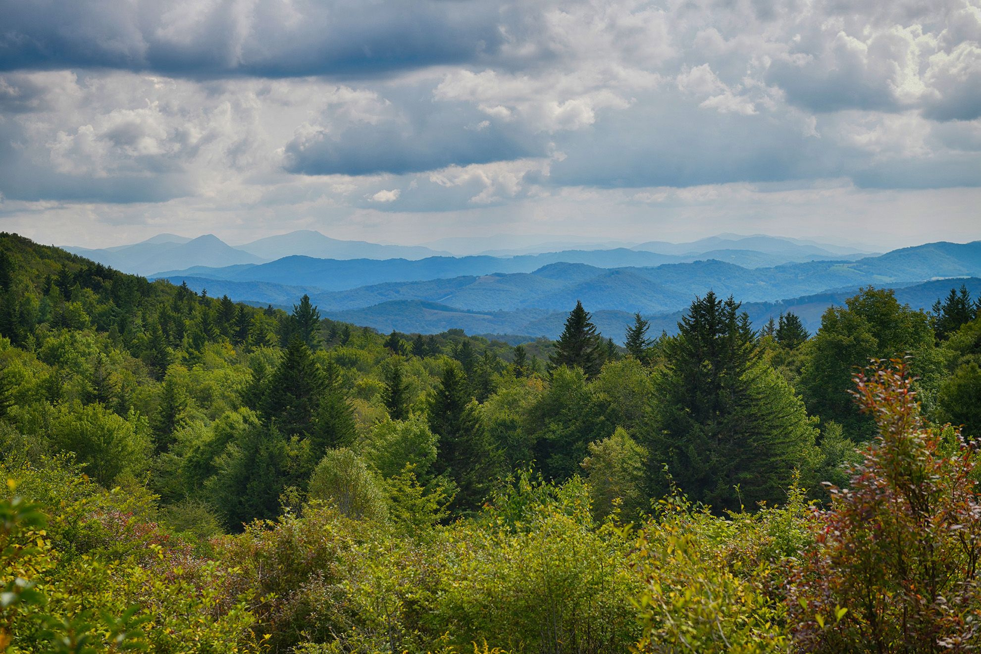
This 1.5 mile historical trail is an interpretive hike back to 1892, when a massacre at the site left five people dead at what was dubbed “the killing rock.”  Open to hiking, biking, and equestrian, this trail is considered moderately intensive.Elevations range from 1860 to 2260 feet.From Pound VA:  Take Highway 23 north for 3.6 miles.  Turn left on SR 667/Potterstown Road.  Follow this for 0.6 miles. Park in the wide graveled area on the...

This park features a gazebo which is (available on first come-first serve basis). The park includes lighted tennis courts, basketball court, amphitheatre, as well as, playground equipment and picnic tables. Many activites take place at the park, which include the Annual Easter Egg Hunt, Pumpkin Hunt and Tree Lighting Event. The Best Friends Festival is held the 2nd week of June at the Park with many outdoor concerts....

Norton's Upper Reservoir/Lower Reservoir is located four miles from the city's downtown. The Upper Reservoir is 9.8 acres and allows fishing, canoeing/kayaking and electric motor boats. The Upper Reservoir is also stocked with trout and catfish by the Virginia Department of Game and Inland Fisheries. Camping and mountain biking/hiking trails are also located nearby. See listed websites for more details on boating and fishing and visit www.nortonva.gov/flagrock for other related outdoor recreation activities....

Whether it's kayaking, playing, relaxing, hiking, caving, exploring, fishing, or just making memories, let us help you with your next adventure. The OAC was formed to connect Adventurers to every possible outdoor experience available by promoting site-specific Vendors, Lodging and Locations. This is some of the services that we offer:Fish or Play- Kayak Rental - We have several kayak options from half day rental to week-long fully outfitted touring kayaks with tents and camping equipment. We...

A self guided 1.3 mile walking trail that requires only a narrative trail brochure. There are stops on the trail, the first in a wildlife clearing for deer, turkey, and other wild game. Next you will pass an old homestead, traces of the house may still be found. There is a White Pine stand that was planted in the 1950s. The next stop is an Eastern Hemlock Log to count the annual rings. Across the...

Serious hikers or horseback riders will love this scenic trail which follows the crest of the Cumberland Mountains dividing Virginia and Kentucky. The trail extends 26 miles from Pound Gap to Potter's Flats in the Breaks Interstate Park. Trailhead parking for horse trailers exists. The trail requires map reading and safety skills. At least 7 access points exists off St.Rt. 630 and 611....

Towering cliffs, sheer limestone ledges, and waterfalls are but a few of the spectacular features of this preserve. Located near the confluence of the Clinch River and Big Cedar Creek, the topography of Pinnacle NAP has been modified by the forces of weather, water, and time to create this dramatic landscape. Towering above Big Cedar Creek is an impressive rock formation, the Pinnacle,...

Oxbow Lake Park is a city-owned park that includes a wetland and forest complex adjacent to the Clinch River. Because of its well maintained trail system, it is a popular destination for many of Saint Paul's residents. The Oxbow Lake trail is a paved, wheelchair-accessible mile-long loop. Restroom facilities are located at the parking area.The park provides residence to a large selection of big and showy dragonflies including blue dasher, slaty and widow skimmers, and...

More than 850 feet long and as high as a 10-story building, Natural Tunnel was naturally carved through a limestone ridge over thousands of years. William Jennings Bryan called it the “Eighth Wonder of the World.” Other scenic features include a wide chasm between steep stone walls surrounded by several pinnacles, or chimneys. Facilities include a campground, picnic areas, amphitheater, visitor center and gift shop, historical blockhouse, swimming pool and chair lift to the tunnel floor. The...

Built in 1966 as authorized by the Flood Control Act of 1960, the 154 acre lake is used for fishing, boating, camping, picnicing, hiking, and municipal water supply. Picnic area overlooks reservoir and is complete with restroom facility. The reservoir is managed by the US Army Corps of Engineers, but most of the developed recreation sites are managed by the Jefferson National Forest. Fish population in the lake includes, largemouth bass, crappie, catfish and sunfish....